Ardesio offers the possibility to have walks on medium mountain routes. There are numerous trails that can be used to spend a wonderful day immersed in nature. The main trails are well signposted and numbered. Along the trails, there are signs that even indicate the approximate travel times.
At the newstands in the village, it is possible to buy maps with the numbering of paths and one can ask for information at our offices. Pay attention, there are various secondary trails on the mountains that surround Ardesio and the Seriana Valley in general, and it is not recommended that you follow them without having good information, so that you avoid getting lost.
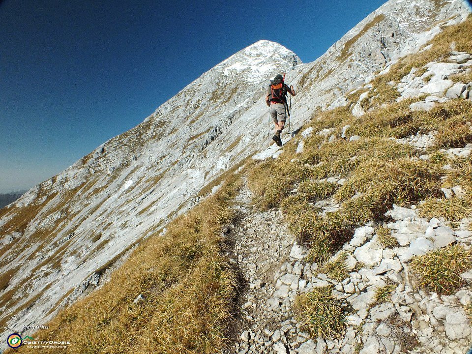
Trail 264: Cerete (Ardesio) – Baite di Monte Secco – Cerete
Departure from Cerete di Ardesio
Cacciamali (1032m) and Mountain Hut of Mount Secco (1714m)

Arrival by car in Cerete of Ardesio. Continue driving until the tarmac finishes.
Leave the car there in the small clearing or find a place at the side of the road near the town of Cerete.
From here, follow the main dirt road and you will arrive at the part of Cacciamali (around 30 minutes on foot) composed of completely renovated stone huts. It is worth looking into the little church.
Cacciamali offers an unprecedented panoramic view of the village of Ardesio.
For those who want to continue, one can reach the hut at the altitude of 1714m by following trail 264, climbing steeply up to the pasture.
The hut is a structure for the pasture and does not offer any services.
The view that one will enjoy from this point will compensate for all the effort to get up there.
Trail 312: Piazzolo (Ardesio) – Spiazzi Boario
Departure from Piazzolo di Ardesio
Ave (1098m), Vodala (1582) and Cima Vodala (2099m)
Leave the car in the parking areas before the built-up area of Piazzolo (they are in front of a series of boxes, you cannot miss them).
For those who are more sportive, it is recommended to start directly on foot from Ardesio. The part of Piazzolo can be reached in only 20 minutes on foot.
From the parking take the gravel road which you will find in front of you. After a first ascent, you will find yourselves immersed in a narrow valley with a stream.
If you continue, you will arrive at the district of Ave (1098m). When you cross the village, think about the fact that not more than 50 years ago, this was a city centre with all the services, including primary schools. Nowadays, it is almost uninhabited. The huts are used by owners for short stays in isolation and solitude preserved over the years by this little side valley. There are no refreshment points in this hamlet.
Just before arriving the inhabited part, you will find a crossroads that will allow you to arrive to Vodala (1582m), the arrival point to the ski lifts of Gromo Spiazzi. Exactly there, you will find the mountain hut vodala, which is ideal for a stopover or a hot meal.
From this point, it is possible to reach two easy peaks. The top of Mount Redondo (1799m) and the top of Vodala (2099m). If this is not enough training (from Ardesio to the top of Vodala there is 1500 m of altitude), you can make use of the ski lifts of Gromo spiazzi which will take you directly to the mountain hut without any effort.
Trail 220: Valcanale – Mountain Hut Alpe Corte
Departure Valcanale from Ardesio:
Once you arrive at Valcanale, follow the road until you reach the little picturesque lake. From here onwards is a parking area until the very end of the road, a few hundred metres onwards.

Mountain Hut Alpe Corte (1410m):
The first stage of the Orobian tour. Ideal destination for families with kids. The meadows around the structure and the short time that is necessary to reach it (half an hour on foot by following trail 220 from the parking area), transform it into an ideal place for the classical Sunday outing with the family. Once you reach Alpe Corte there are two main directions:
Lake Branchino (1784m)
You will cross the pastures on the left of the mountain hut and you will come across some huts that are still used nowadays as mountain pastures, until the little lake lying in the shadow of Pizza Arera is reached. In the vicinity and only in the Summer season, there is a little mountain hut open, ideal for a stopover or even to have lunch.
Once you reach the little lake, good hikers can continue towards the mountain hut Capanna 2000 (2000m). To reach it, you need to follow a lovely trail called purposely “the flower path”.
Mountain Hut of Laghi Gemelli (The Twin Lakes) (1963m).
If one continues with the trail of the Orobian Circle from the Alpe Corte mountain hut, one will arrive to Laghi Gemelli (2139m) dominating the dam that gives rise to the spectacular alpine lake. Continuing for another short half an hour, one can descend to the Mountain Hut of Laghi Gemelli (1963m) which would already be visible from the path.