Also known as the Orobian Ring, this enchanting trail crosses the Bergamo Province from one end to the other and links all the mountain huts of the Italian Alpine Club (CAI) of Eastern Orobia, and considers the small city of Ardesio as the point of departure and arrival for the whole trail.
Orobie Ring Passport
News: Passport to the Ring Trail of Eastern Orobia
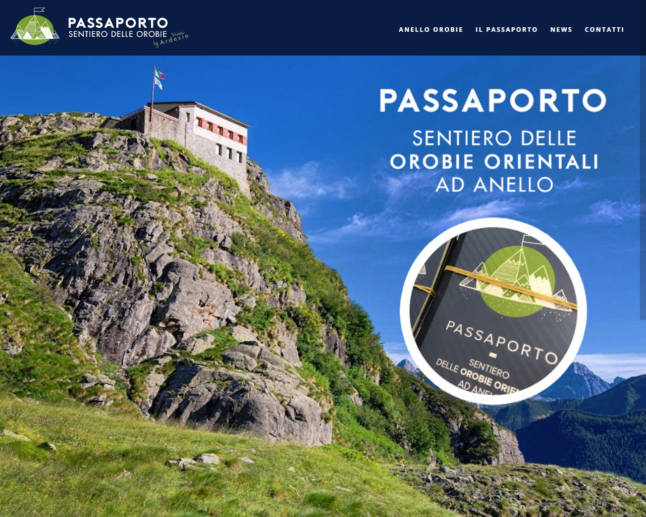
Official Site of the Passport of the Orobian Ring: www.viviardesio.com
“A passport to document the emotional voyage through the natural beauty of the Ring Trail of Eastern Orobie which departs and arrives at Ardesio: the new initiative promoted by Vivi Ardesio, CAI Section of Bergamo, CAI Seriana High Valley, PromoSerio and Valbondione Tourism with the support of the Bergamo Province and Visit Bergamo, took off in 2019. The passports are available at the offices of Vivi Ardesio, the Valseriana Infopoint and Val di Scalve of Ponte Nossa, the Palamonti of Bergamo, Valbondione Tourism and Visit Bergamo, and they have to be activated at the Tourist Office of Vivi Ardesio.”
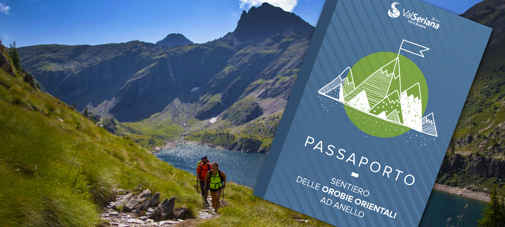
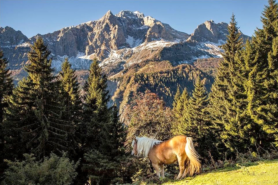
Each Summer, there are hundreds and hundreds of mountain climbers, hikers and tourists that hike at the “Orobian Ring” in the midst of the beautiful landscapes of nature, which are brought together along a mountain trail of more than 80 kilometres.
The pathway is a fascinating trail in stages at high altitude of an average of 2.100-2.200 metres and with mountain tops of up to 2.700 metres. It goes through the different, impressive landscapes bringing together all views with mountains of rare grandeur.
The Western section begins from the Stabina valley, whereas the Central-Eastern section departs from the little city of Ardesio, then continues in the limestone environment of Valcanale, joining the upper valley of Brembana, follows through the high mountain range of the Seriana valley (the circle of the Orobian giants between Redorta and Coca lace), goes across the Scalve valley and reaches the spectacular Dolomite environment of the basin of Presolana, which is a privileged place by climbers not only from Bergamo. The ring then comes to an end at Ardesio.
Technical information about the trail
Place of departure and arrival: Valcanale (Ardesio, BG)
Support points Mountain Huts: Alpe Corte, Laghi Gemelli (The Twin Lakes), Calvi, Brunone, Merelli Coca, Curò, Albani
Trail type,n°, trail sign: 220 – 311
Difficulty: EEA [scale difficulty]
Prevailing Exposure: All
Departure altitude (m): 550
Summit altitude/Maximum altitude (m): 2295
Total ascent height difference (m): 9000
Mobile network coverage 3: 0% of coverage
Interactive map of the Orobie Ring Trail
For further information (ITA)
– Mountain Trails from Ardesio and Valcanale
– Visit the official site of the Orobian Ring
– For a detailed map visit the Geoportal of the Italian Alpine Club (CAI) of Bergamo.